Augmentation for Mining Technology
Many of the technologies that make mining operations safer and more productive are critically reliant on GNSS. While in open sky environments, this satellite positioning has proved extremely reliable, sometimes there can be some issues that affect position accuracy. This happens for a number of reasons:
Access to Open Sky :
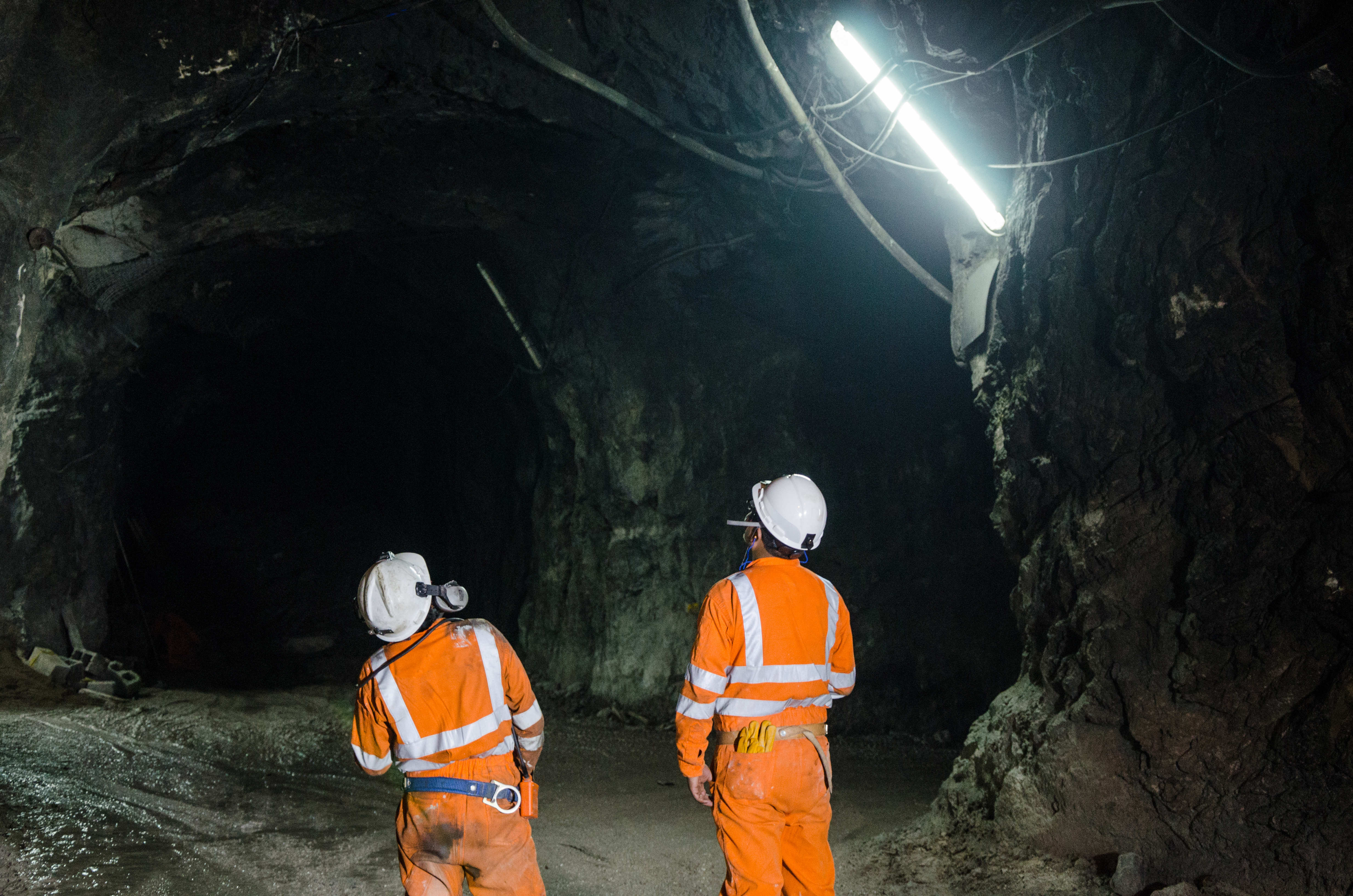
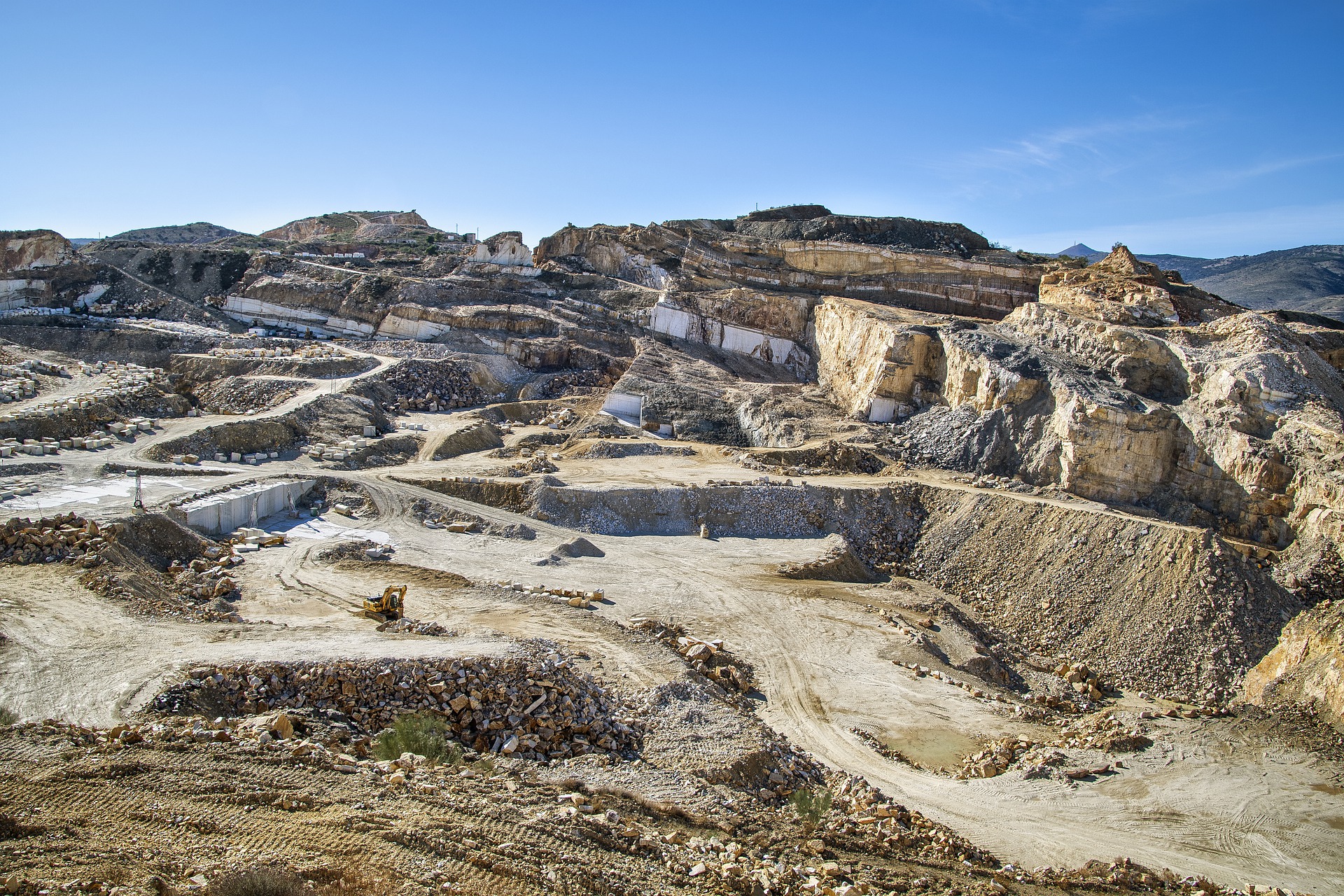
GPS signals are transmitted from satellites orbiting the Earth, and these signals can be blocked or weakened by obstructions such as Highwall, waste dumps, surrounding mountains, or reduced sky access at the bottom of very deep pits. In a mining operation, large equipment, underpasses, and terrain can all cause signal obstructions, leading to inaccurate GPS readings. Around 10% of current mining operations happen underground, and as we deplete accessible resources this number is growing.

Interference :
The surrounding environment can also affect GPS accuracy. For example, the magnetic fields in certain rock formations can disrupt GPS signals. In addition, heavy cloud cover, dust, debris, and other airborne particles have been known to cause interference. An interesting phenomenon known as scintillation at high latitudes can also cause regular issues at specific times of day, during specific months of the year.

Network :
While GNSS is received directly by an antenna on a vehicle, corrections that make this positioning more precise are usually received over WiFi, LTE, or other radio networks. These corrections also suffer from issues that typically affect networks, among them line-of-site.

How can VPS Help Extend the Reach of Position-Dependent Technology in Mining?
Visual Positioning Systems work by combining information from multiple cameras and sensors to estimate the motion and position of a camera assembly or vehicle. Data from synchronized stereo cameras and inertial sensors provide information about the vehicle or miner's acceleration and rotation, which provides an estimation of its orientation and motion.
By fusing the data of these two sources, VPS estimates the pose of a vehicle or miner, even in challenging environments. VILOTA's algorithms, based on these sources, estimate the position and orientation of our devices with minimal drift, allowing navigation and positioning or the output of a coordinate.
.png)
Enables Extension of Fleet Management to Underground

Find My Device

Collision Avoidance
Contact Us
Do you have an application for Visual Positioning?
Have a custom requirement or integration to your system?
Let's talk


