Construction
Applications
Access to Open Sky:
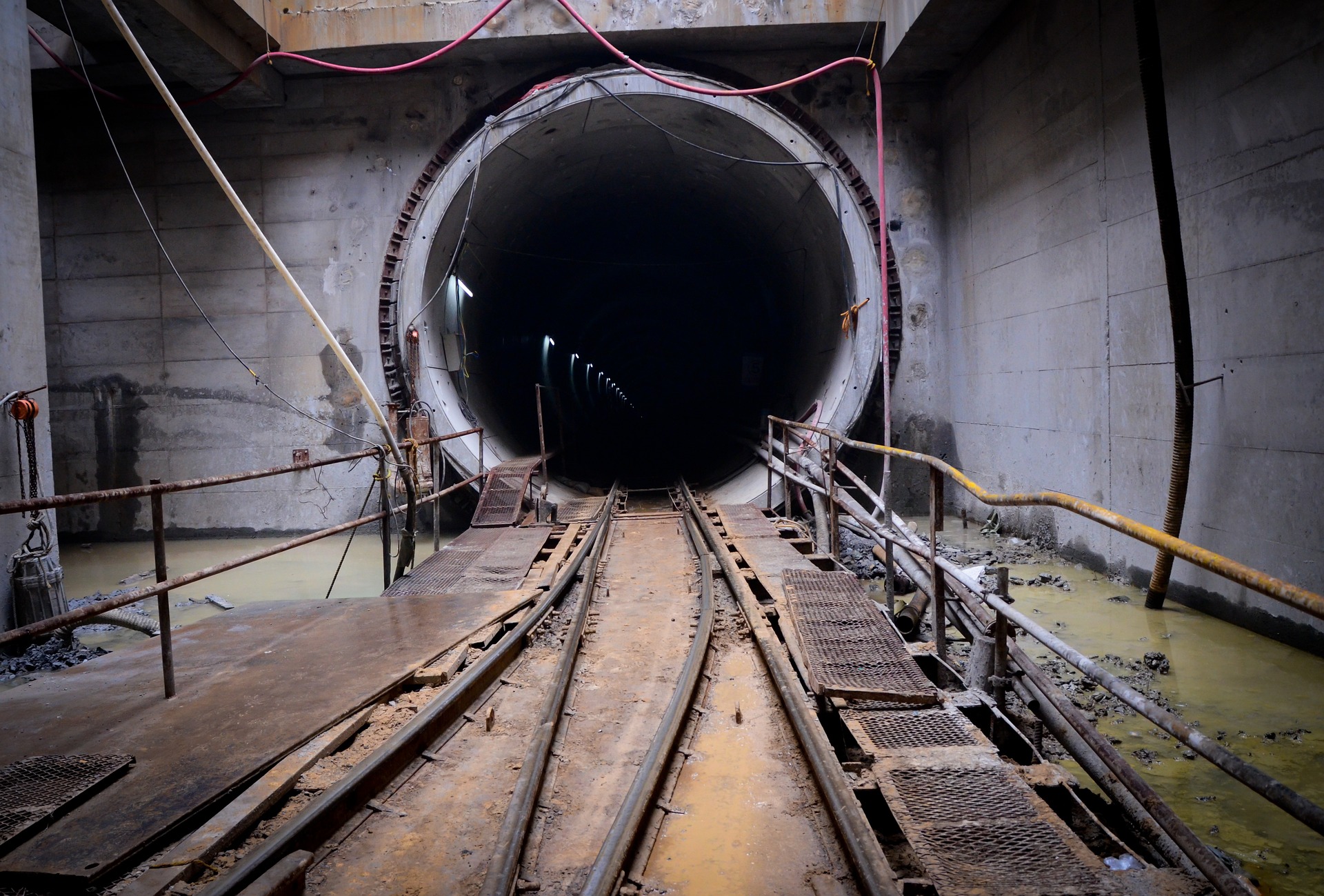
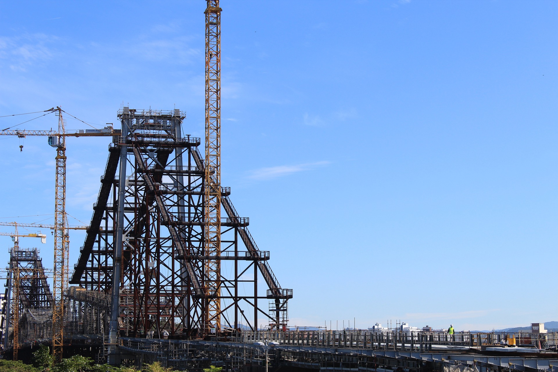
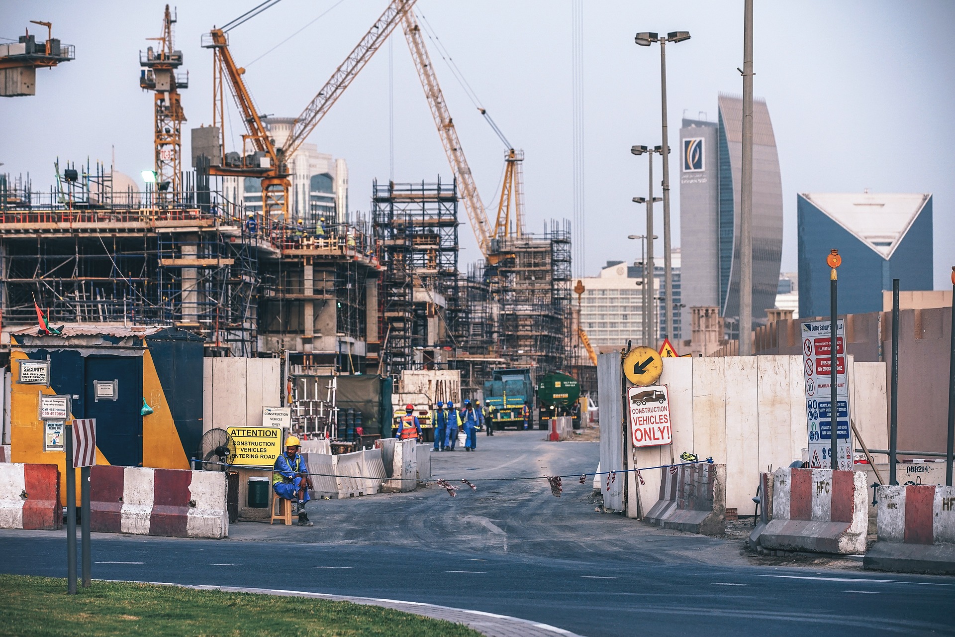
The signals utilized by GPS are sent from satellites in orbit around the Earth, and various barriers can hinder or diminish their strength. Examples of obstacles include bridges, Highwall, surrounding mountains, or limited sky access in tunnels or deep pits. When it comes to construction, signal disruptions can be caused by factors such as large machinery, underpasses, and the terrain, resulting in imprecise GPS data. As the availability of accessible resources dwindles, the proportion of construction operations conducted underground and in other GPS-distorted environments is increasing, accounting for roughly 10% of current operations.
Interference :
GPS accuracy can be impacted by the environment surrounding it. For instance, GPS signals can be disrupted by the magnetic fields present in some construction formations. Additionally, GPS accuracy can be impeded by the presence of heavy cloud cover, dust, debris, or other airborne particles that can cause interference. At high latitudes, a phenomenon called scintillation can cause recurring problems at certain times of day and during specific months of the year.
Network :
Although GNSS is acquired directly via an antenna mounted on a vehicle, corrections that enhance the accuracy of this positioning are usually transmitted via WiFi, LTE, or other radio networks. These correction signals can also be impacted by problems commonly experienced by radio networks, including line-of-sight issues.


How can VPS Help Extend the Reach of Position-Dependent Technology in Robotics?
By fusing the data from these two sources, VPS estimates the pose of a robot-mounted camera assembly, even in challenging environments. VILOTA's algorithms, based on these sources, estimate the position and orientation of our devices with minimal drift, allowing navigation and positioning or the output of a coordinate in otherwise GNSS-denied or distorted environments that aren't open skies.
-
Enables Extension of Mission Planning to Indoors & Underground
Pseudo-GPS coordinates in local grid in GNSS-denied environments.
-
Find My Device
Location of critical mobile plant in local mine grid
-
Collision Avoidance
Situational Awareness augmenting collision avoidance systems
Core Technologies
3D Computer Vision
High level understanding of digital images and videos
Edge Compute
Computation and processing right at the source of data acquisition
Sensor Fusion
In-house knowhow and leading technologies in combining multiple sensory data


