Extending
the Range of
Robotics Applications
.png?width=500&height=294&name=image%20(3).png)
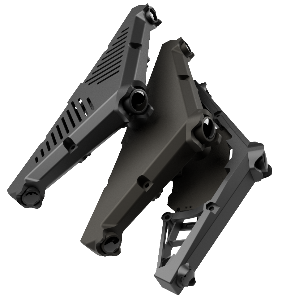
Our Visual Positioning Systems combine information from multiple cameras and inertial sensors to estimate the motion and position of a camera assembly, drone, or robot. Data from synchronized stereo cameras and inertial sensors provide information about the robot's acceleration and rotation, which provides an estimation of its orientation and motion.
How can VPS Help Extend the Reach of Position-Dependent Technology in Robotics?
By fusing the data from these two sources, VPS estimates the pose of a robot-mounted camera assembly, even in challenging environments. VILOTA's algorithms, based on these sources, estimate the position and orientation of our devices with minimal drift, allowing navigation and positioning or the output of a coordinate in otherwise GNSS-denied or distorted environments that aren't open skies.
-
Enables Extension of Mission Planning to Indoors & Underground
Pseudo-GPS coordinates in local grid in GNSS-denied environments.
-
Find My Device
Location of critical mobile plant in local mine grid
-
Collision Avoidance
Situational Awareness augmenting collision avoidance systems
VPS systems for drones and robots for localisation and positioning in GPS-denied or GPS-obstructed environments.
Camera-based perception sometimes requires a large perception and embedded team. Our modularised sensor hardware and onboard software can better support robot manufacturers by speeding up their development process and lowering the barriers to adopting vision technologies.
Vision-Kit-Lite is a credit-card size perception and localization module, suitable for drones and small robots. It has a 360 degrees field of view, permitting navigation, tracking, and monitoring. For more information on VKL7 & VKL12, VILOTA's initial market offering, please download our spec sheet.
Download the VKL specs sheet to learn about more about our Visual Positioning Systems for drones and robots.
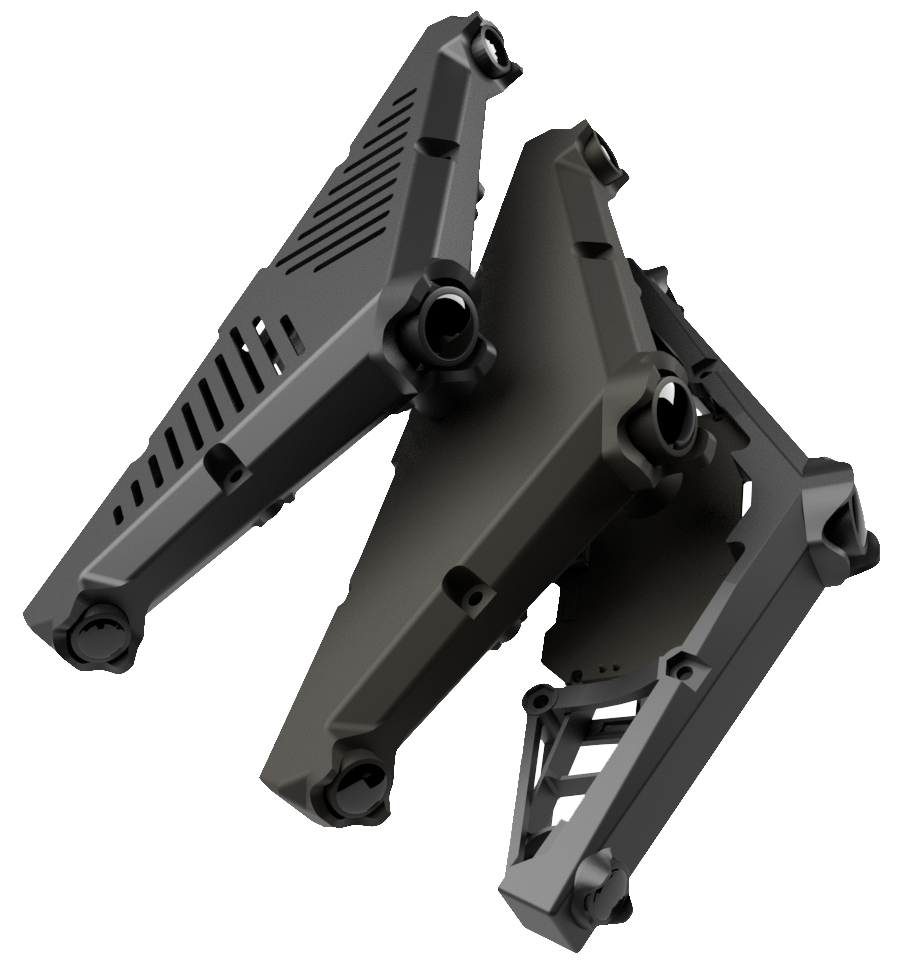
Depth Pilot 180
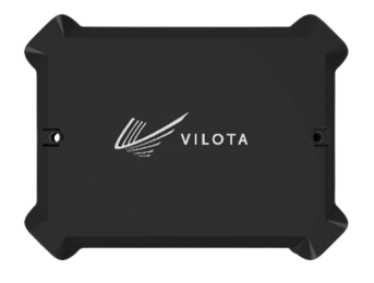
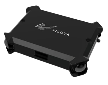
Simplify your perception pipeline with the Depth-Pilot 180, a versatile smart-sensor for diverse applications. Featuring Built-In capabilities for Localization, Stereo Depth, and AI Powered Perception applications, including:
- High Quality pose estimation by dual stereo VIO
- Wide angle dual stereo depth for occupancy detection
- Onboard VPU for AI powered applications
- Open & Interoperable Architecture
- Flexible and Tunable Autoexposure for differing lighting conditions
Combined with a light weight and compact form factor, with easy integration, the DP-180 truly simplifies visual perception for robotics engineers.

Tunnels, bridges, and elevated highways - the heavy construction industry benefits greatly from GPS-augmented localization in GPS-distorted sites.

Expand robotics applications with VPS - visual positioning system where GNSS is faulty

Underground mines are dangerous by nature. The most important thing that comes out of the mine is the miner. Read more on how VILOTA helps in this effort.

